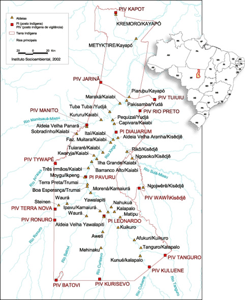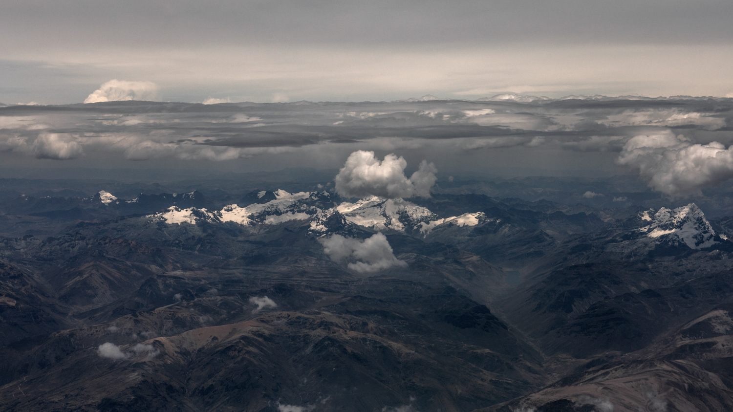

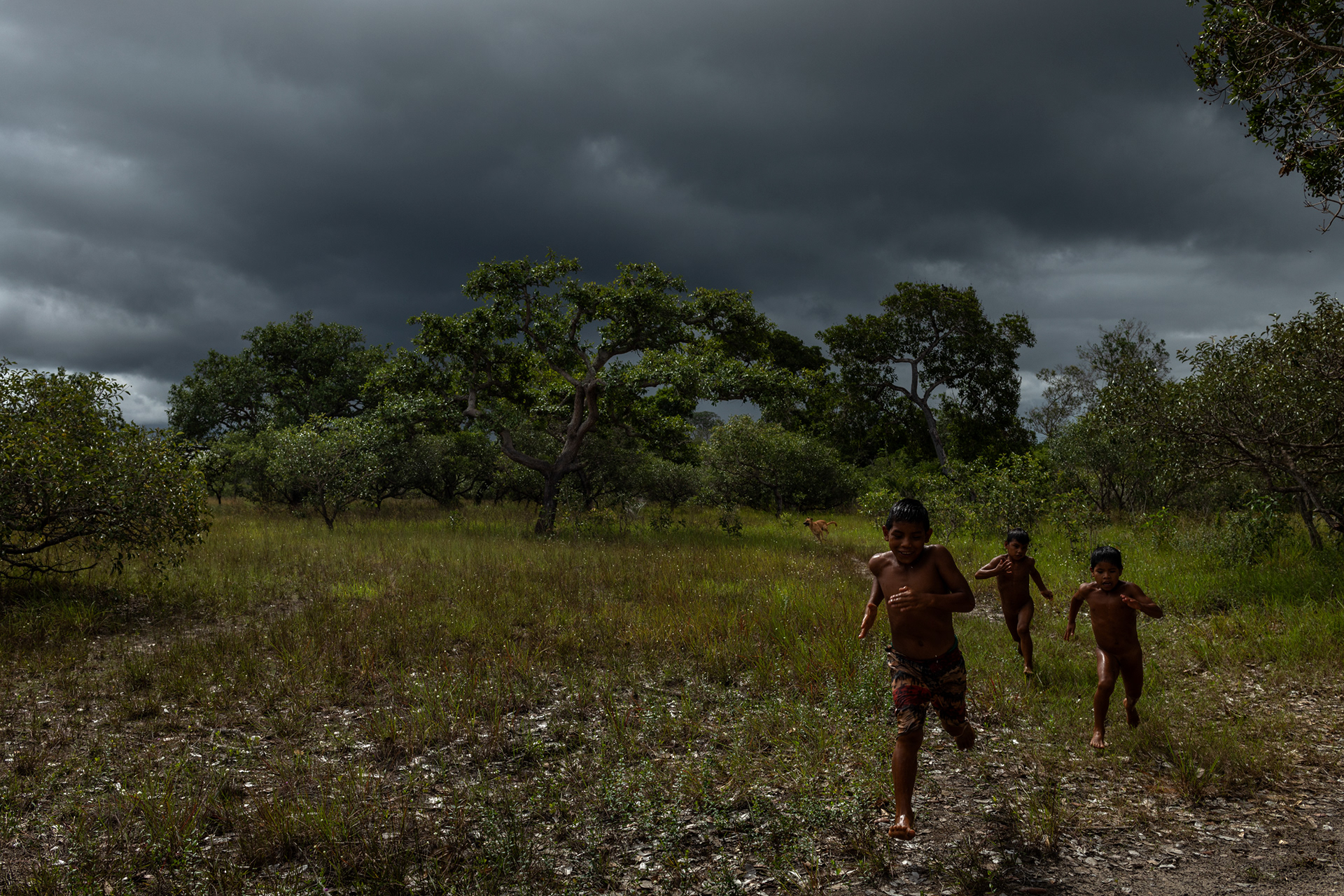
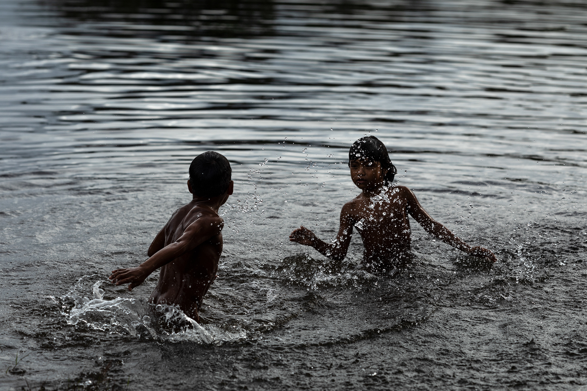
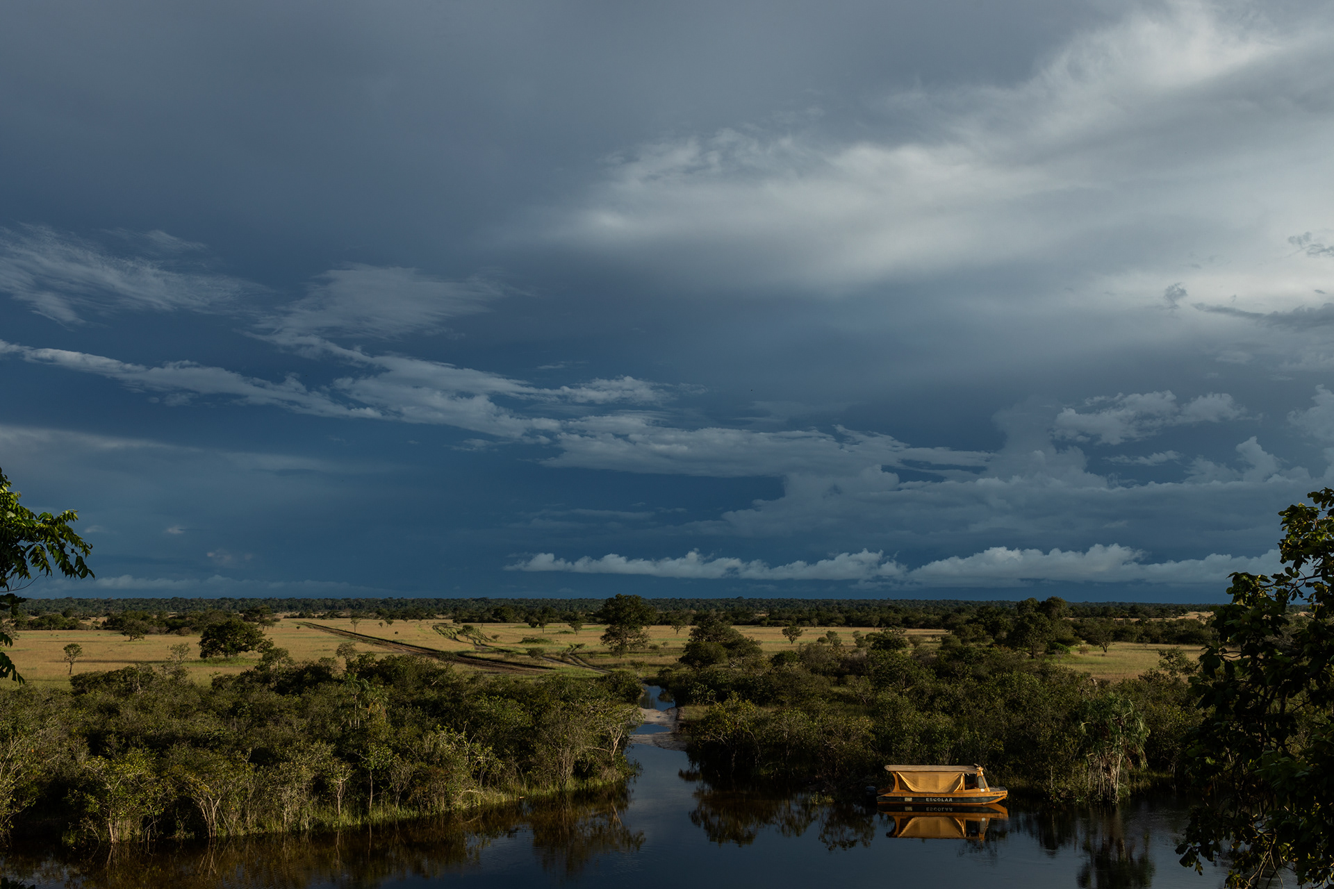
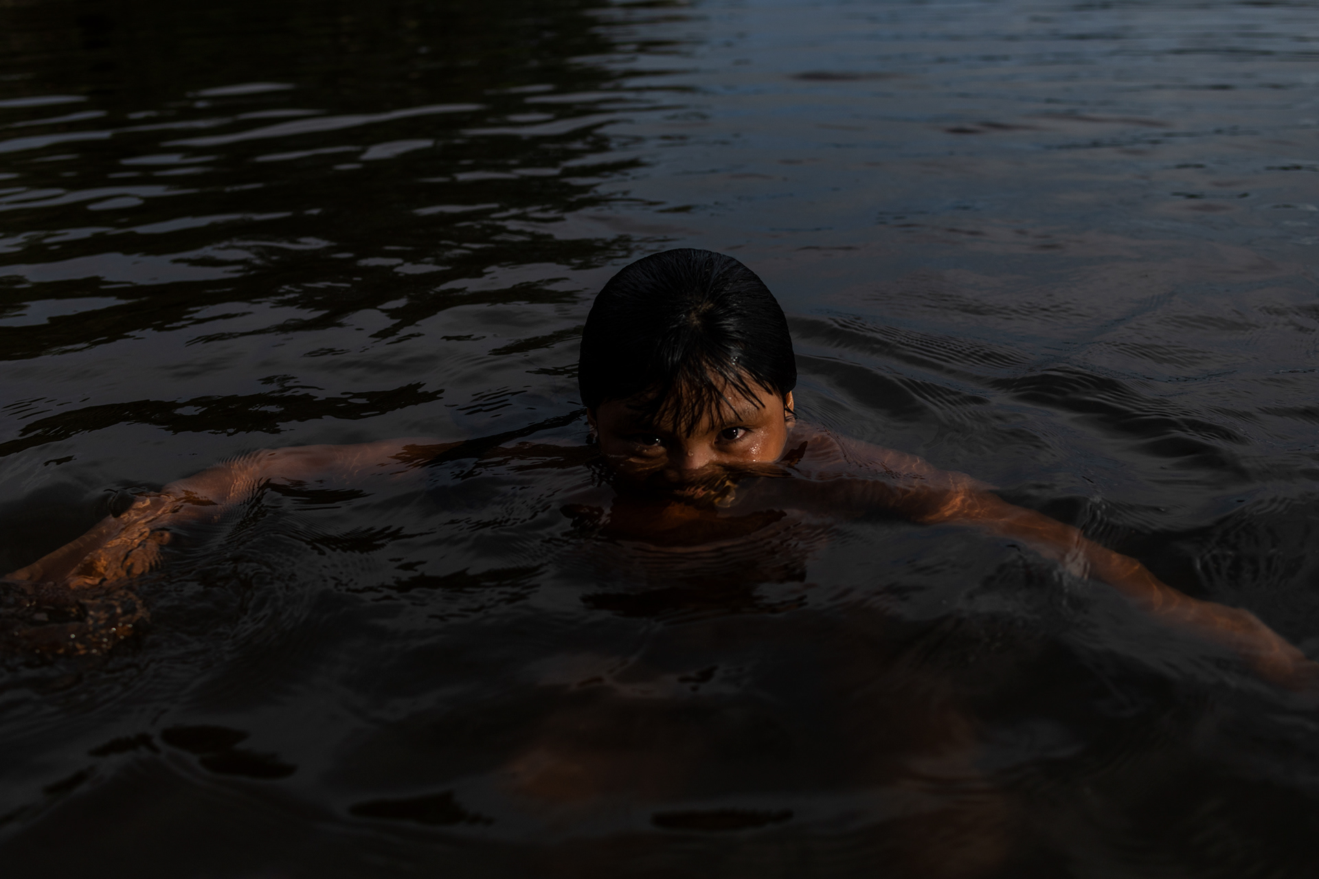
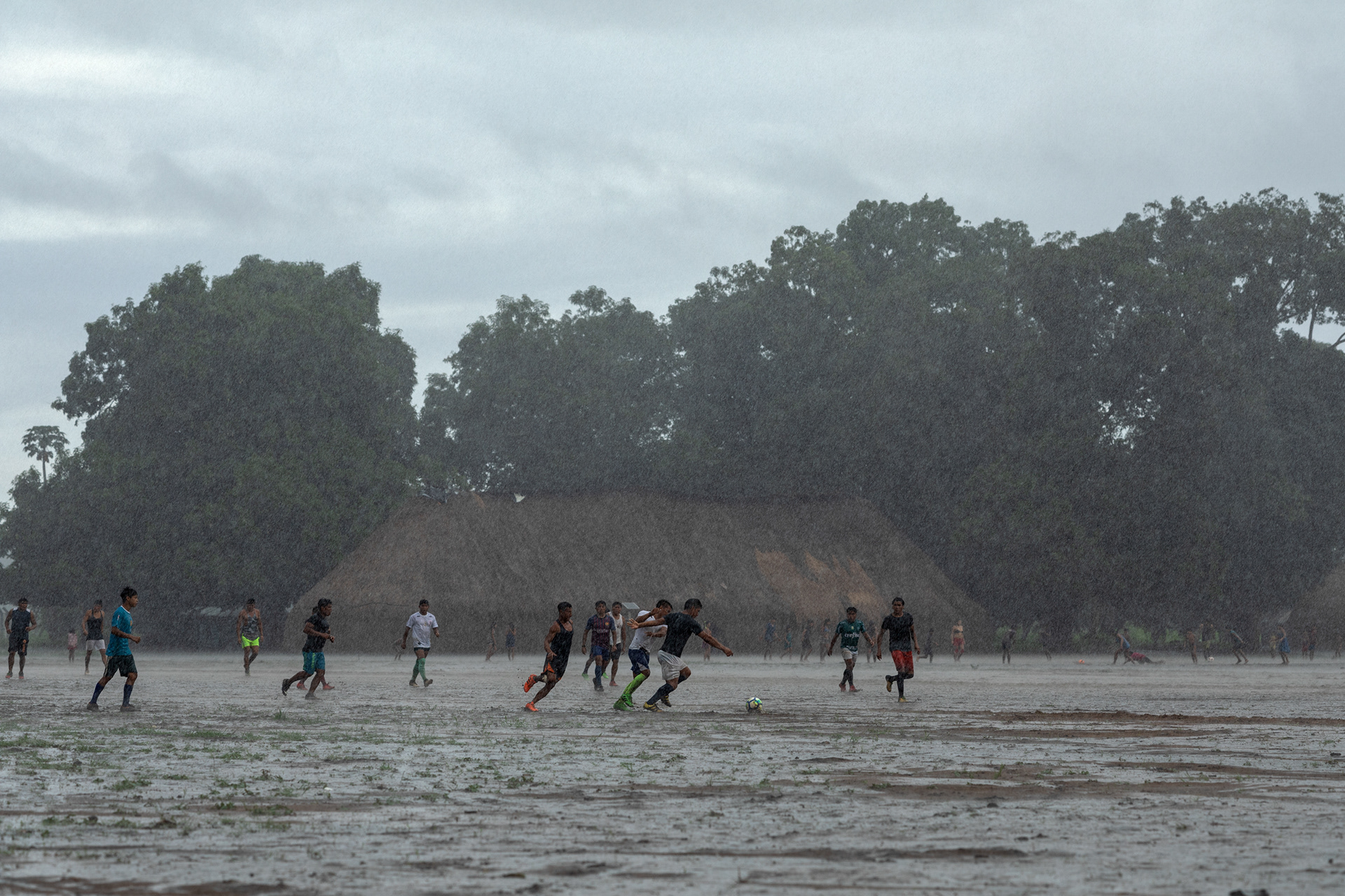

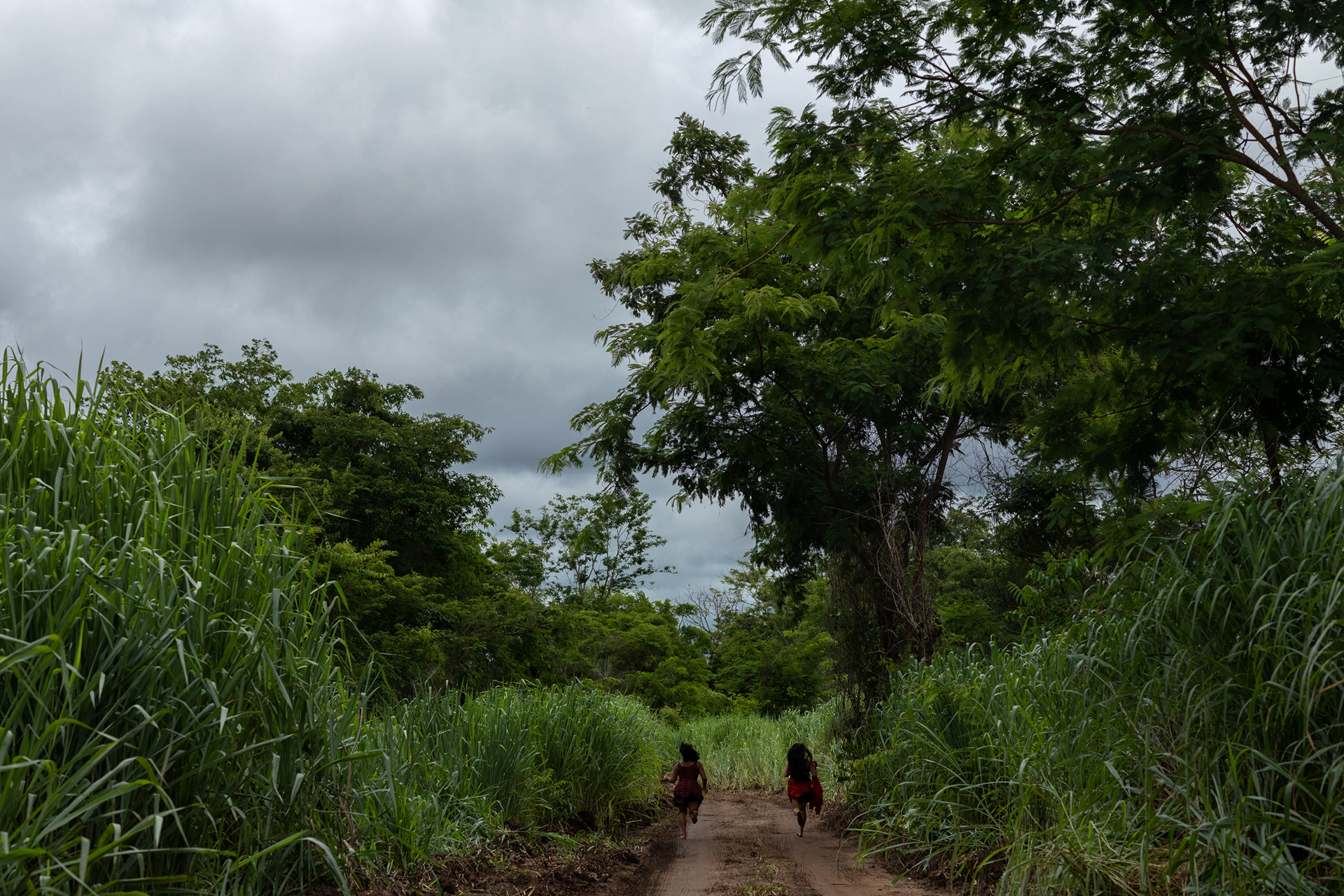
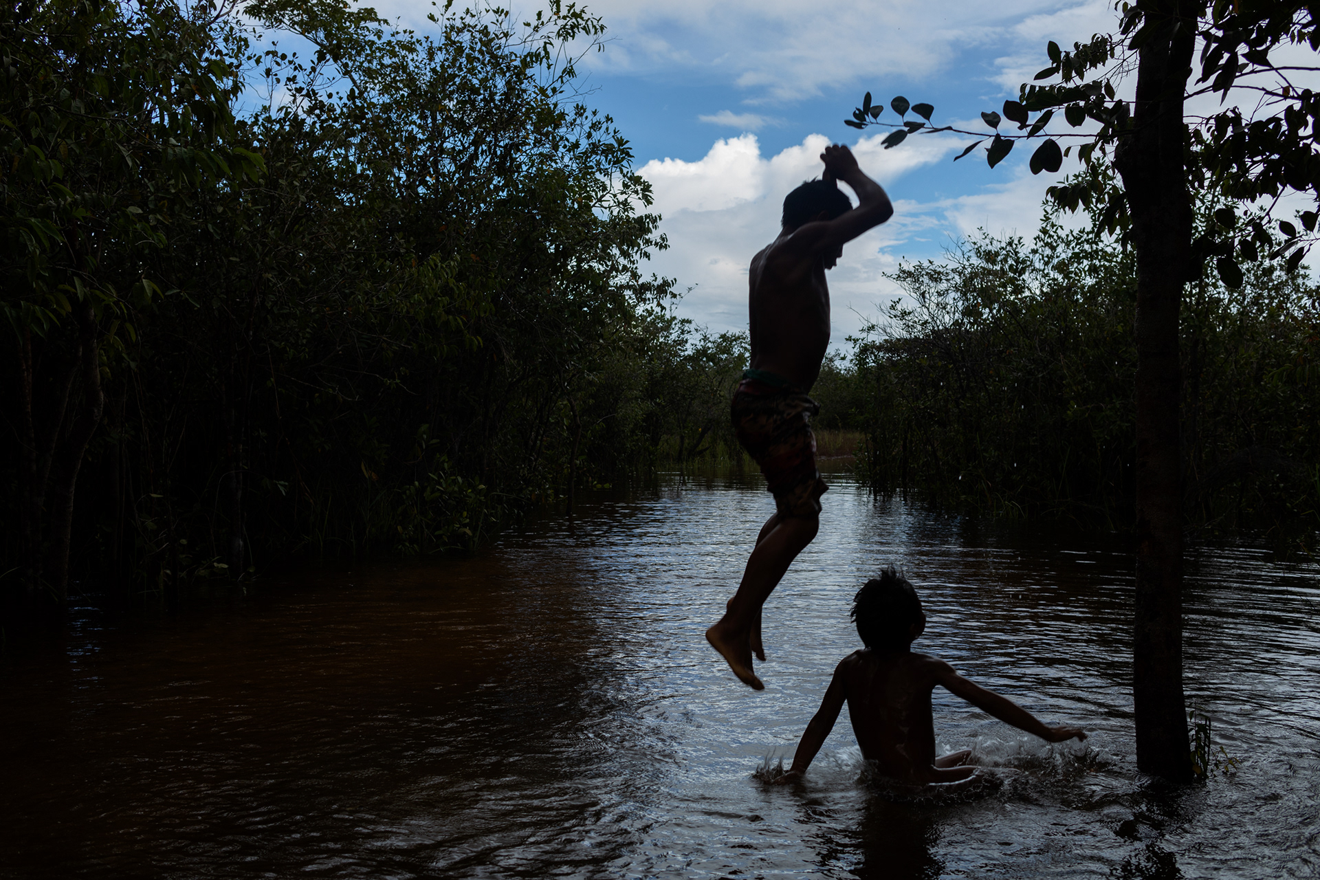

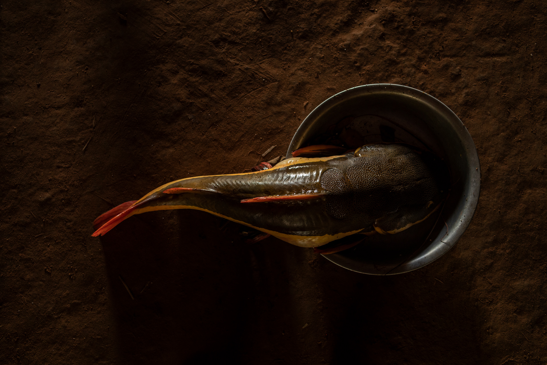


The Xingu Indigenous Park (PIX) is located in the northeastern region of Mato Grosso State, in the southern portion of the Brazilian Amazon. On its 2,642,003 hectares, the local landscape exhibits great biodiversity, in a region of ecological transition, from savannas and drier forests in the south to the Amazonian forest in the north. The climate alternates from a rainy season, from November to April, when rivers flood and fish are scarce, and a period of drought in the remaining months, the time of the tracajá turtle and the great inter-village ceremonies.
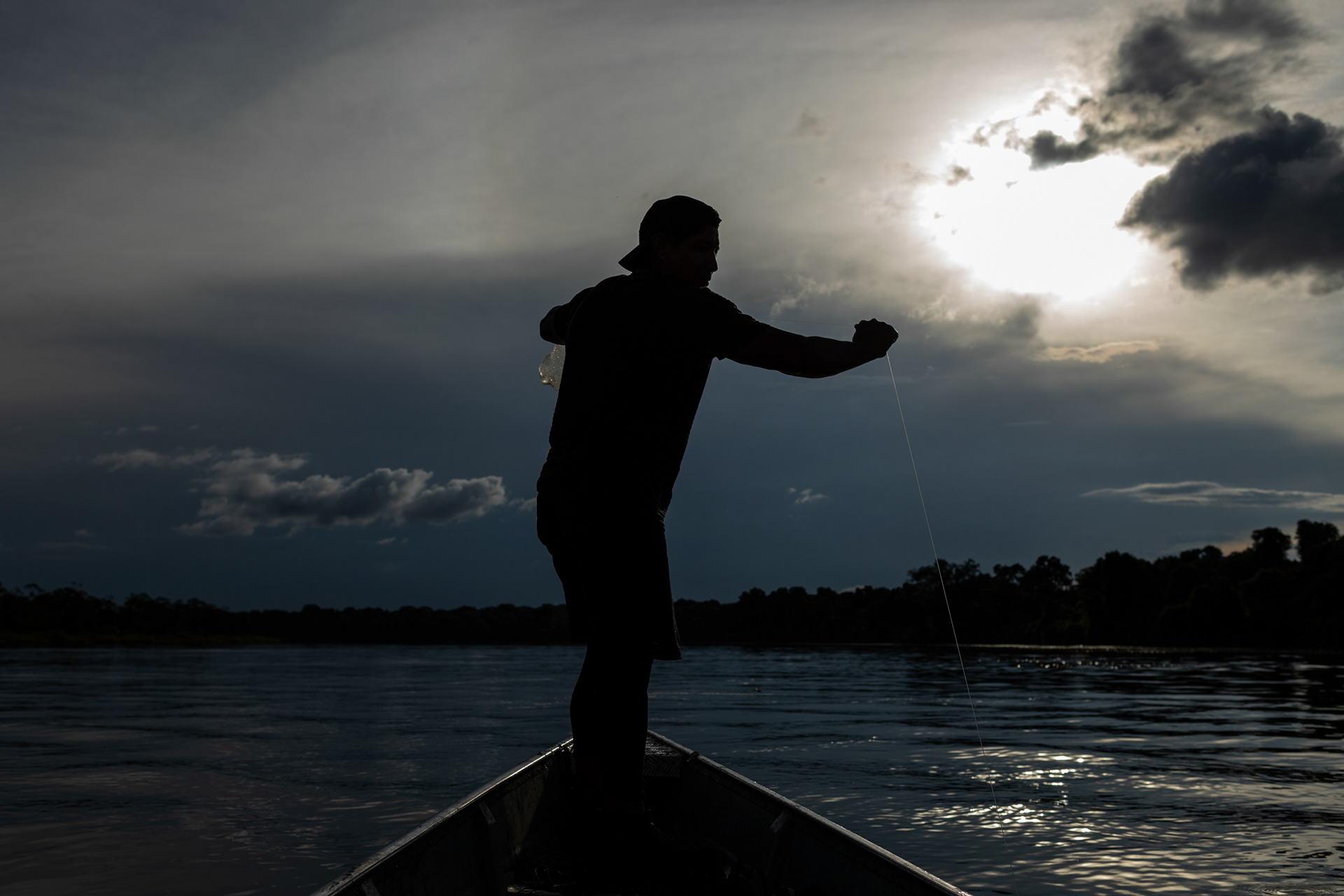
To the south of the Park are the Xingu River trainers, which make up a basin drained by the Von den Stein, Jatoba, Ronuro, Batovi, Kurisevo and Kuluene rivers; this being the main trainer of the Xingu, when meeting with Batovi-Ronuro. The administrative demarcation of the Park was approved in 1961, with an incident area in part of the municipalities of Canarana, Paranatinga, Sao Felix do Araguaia, Sao Jose do Xingu, Gaucha do Norte, Feliz Natal, Querência, União do Sul, Nova Ubiratã and Marcelândia .
The idea of creating the Park took shape in a round table convened by the Vice Presidency of the Republic in 1952, which resulted in a much larger Park draft than what finally came to fruition. Despite the legislative and executive powers of Mato Grosso being represented at this round table, including its governor, the state began to grant land to colonizing companies within that perimeter. Therefore, when the Xingu National Park was finally created by Decree No. 50,455, of April 14, 1961, signed by President Jânio Quadros, its area corresponded to only a quarter of the initially proposed surface. The Park was regulated by Decree No. 51,084, of 07/31/1961; Adjustments were made by Decree No. 63,082 of August 6, 1968, and No. 68,909 of July 13, 1971, and the demarcation of its current perimeter was finally made in 1978.
The hybrid category of "National Park" was due to the dual purpose of environmental protection and indigenous populations that guided its creation, being the area subordinated to both the official indigenous body and the environmental body. It was only with the creation of Funai (in 1967, replacing the SPI - Indian Protection Service) that the "National Park" was renamed the "Indigenous Park", turning then primarily to the protection of native sociodiversity.
In view of the people who live there, the Xingu Indigenous Park can be divided into three parts: one in the north (known as Baixo Xingu), one in the central region (the so-called Middle Xingu) and one in the south (the Upper Xingu).
In the south are the very culturally similar peoples, including the cultural area of Alto Xingu, whose ethnicities are attended by the Leonardo Villas Bôas Indigenous Post.
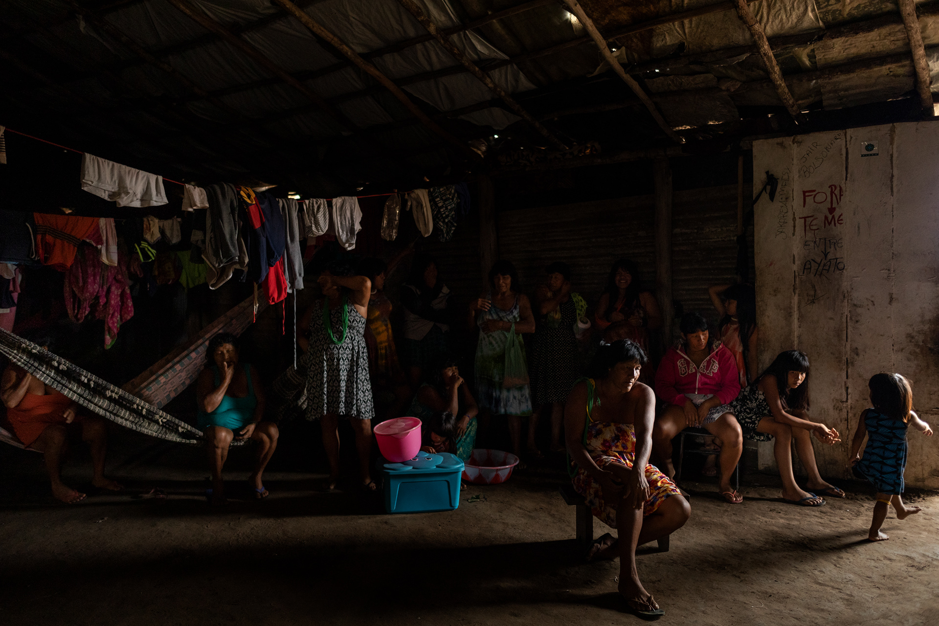
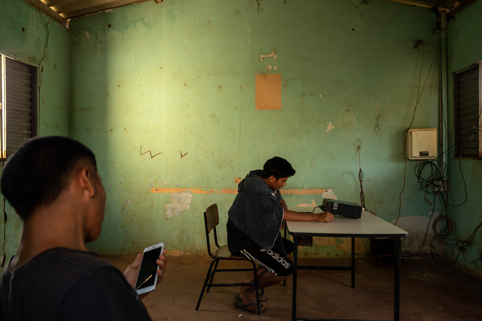
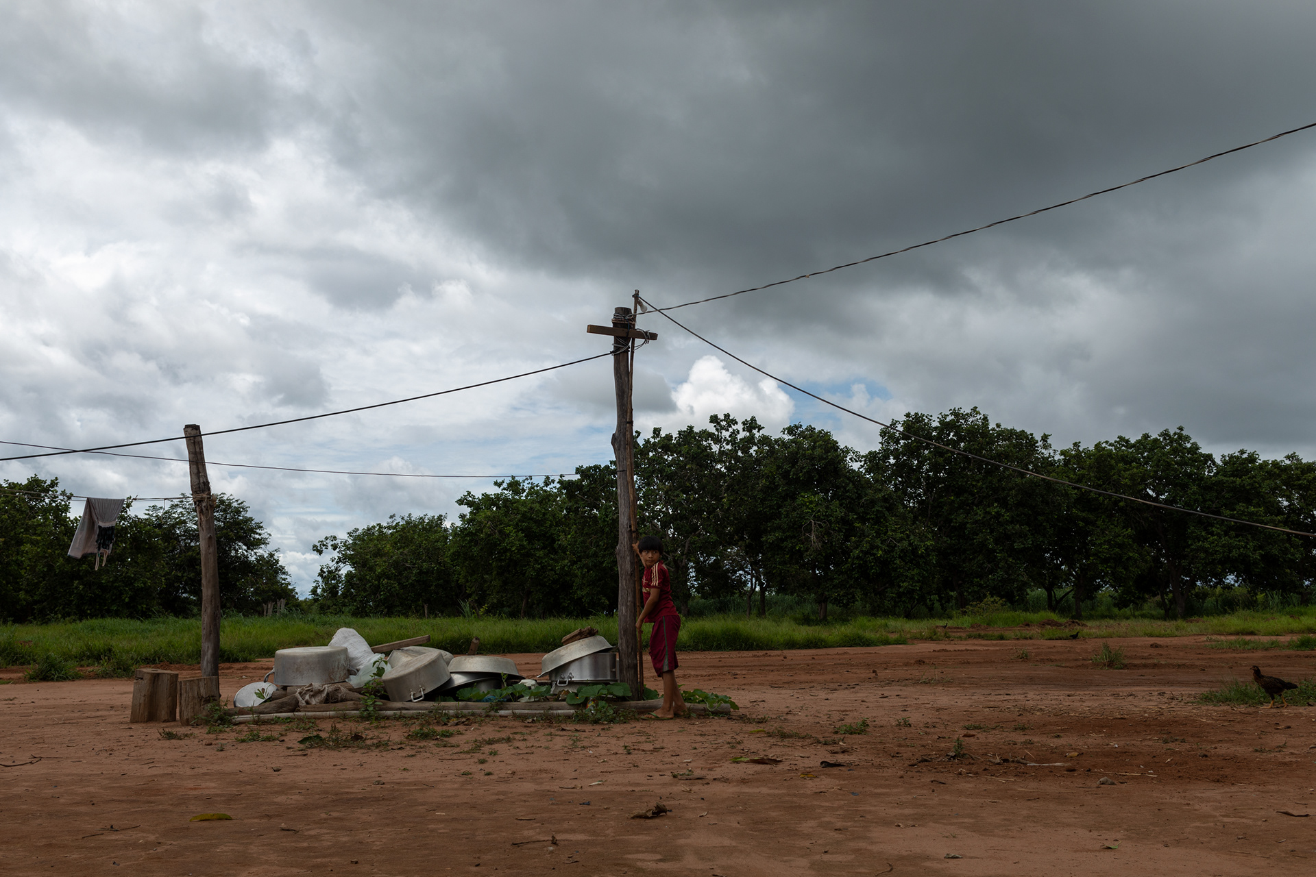
Each Post supports the logistics of projects and activities developed in the Park, such as education and health, with all of them having a Basic Health Unit (UBS), where indigenous health agents and employees of the Unifesp (Federal University of São Paulo) work, which is a partner. with Funasa. There are also eleven Surveillance Posts on the borders of the territory, on the banks of the main rivers forming Xingu.
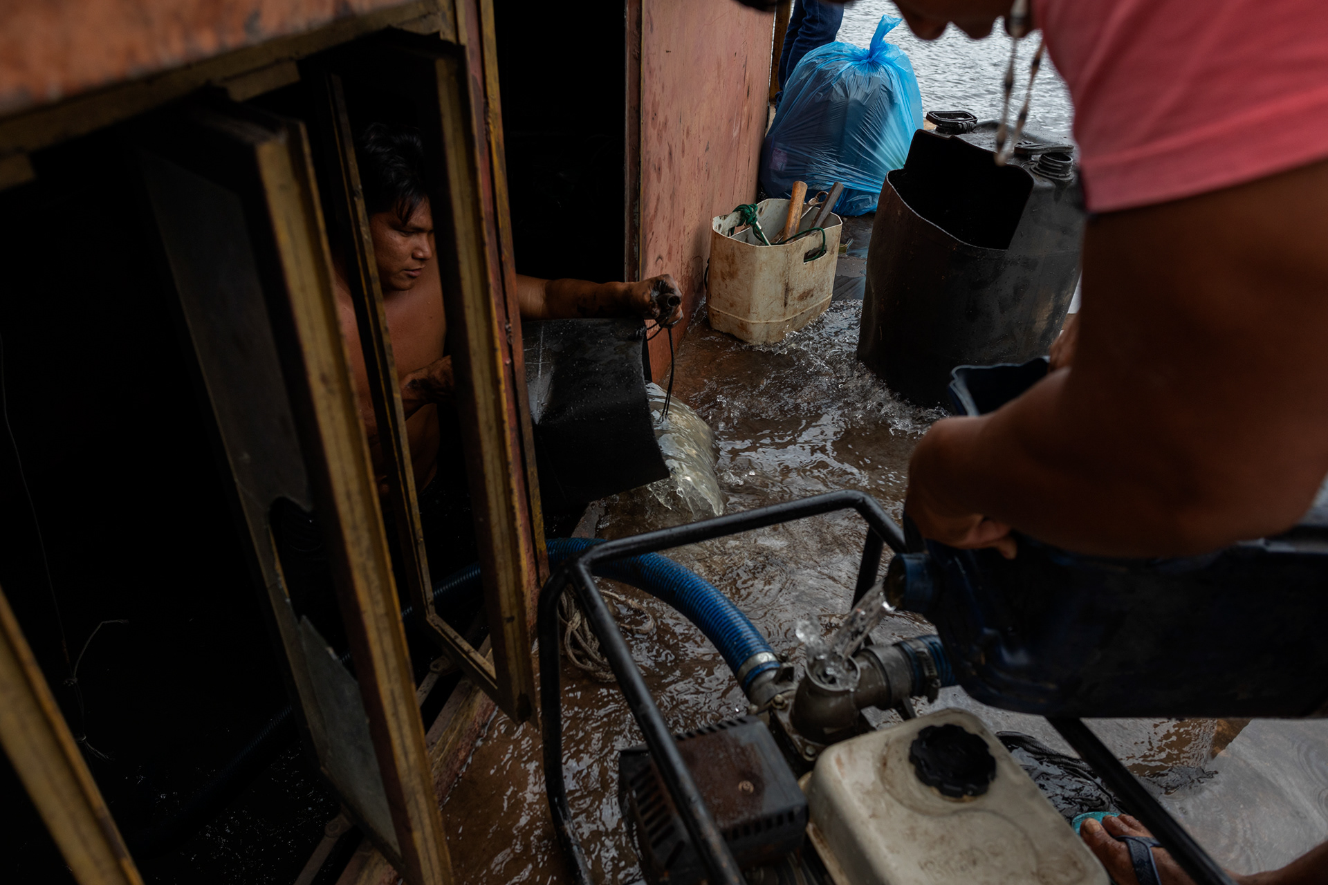
In the 1980s, the first invasions of fishermen and hunters in the territory of PIX began. By the late 1990s, the burnings on livestock farms located northeast of the Park threatened to hit it, and the advance of logging in the west began to come close to the physical boundaries defined by the demarcation. In addition, the occupation of the surroundings began to pollute the springs of the rivers that supply the Park and that were outside the demarcated area. In the process, the perception of a troublesome “hug” has been strengthened among PIX residents: the Park has been surrounded by the process of occupying its surroundings and is already becoming an “island” of forests in the midst of pasture and monoculture in the Xingu region.
Among the contemporary problems faced by the Park's residents, the biggest ones may be due to this predatory occupation process.
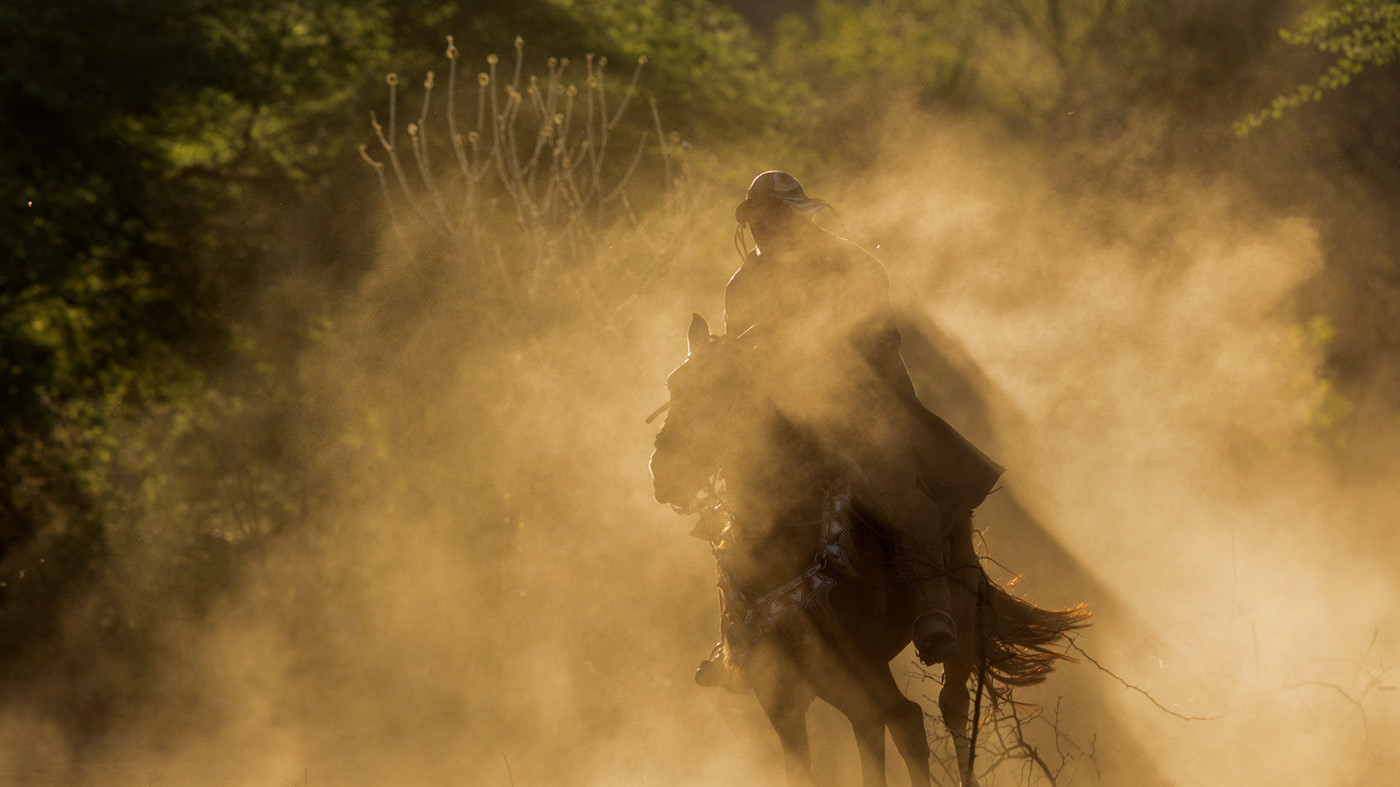
It is considered “around the PIX” the region of the state of Mato Grosso that extends around the main shapers of the Xingu River, from its headwaters. Running parallel to the Xingu River, two major road routes function as occupation axes: west of the PIX, Cuiabá-Santarém (BR-163); to the east, BR-158. In this adverse regional context, the Park's natural resources and sociodiversity are threatened in many ways over a 900 km perimeter.
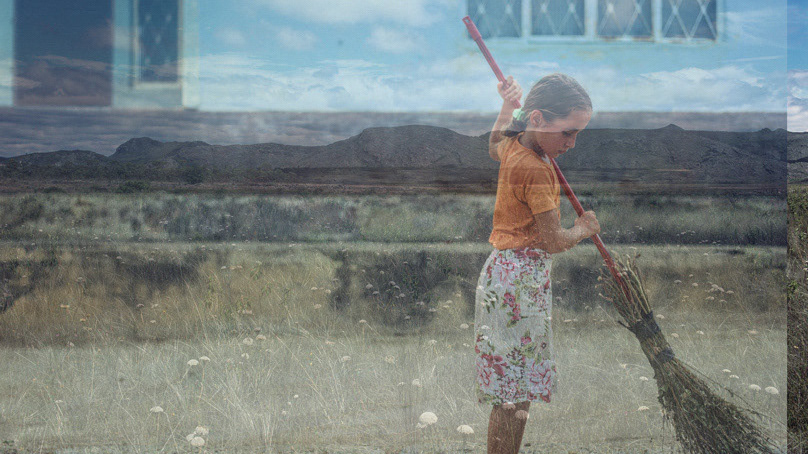
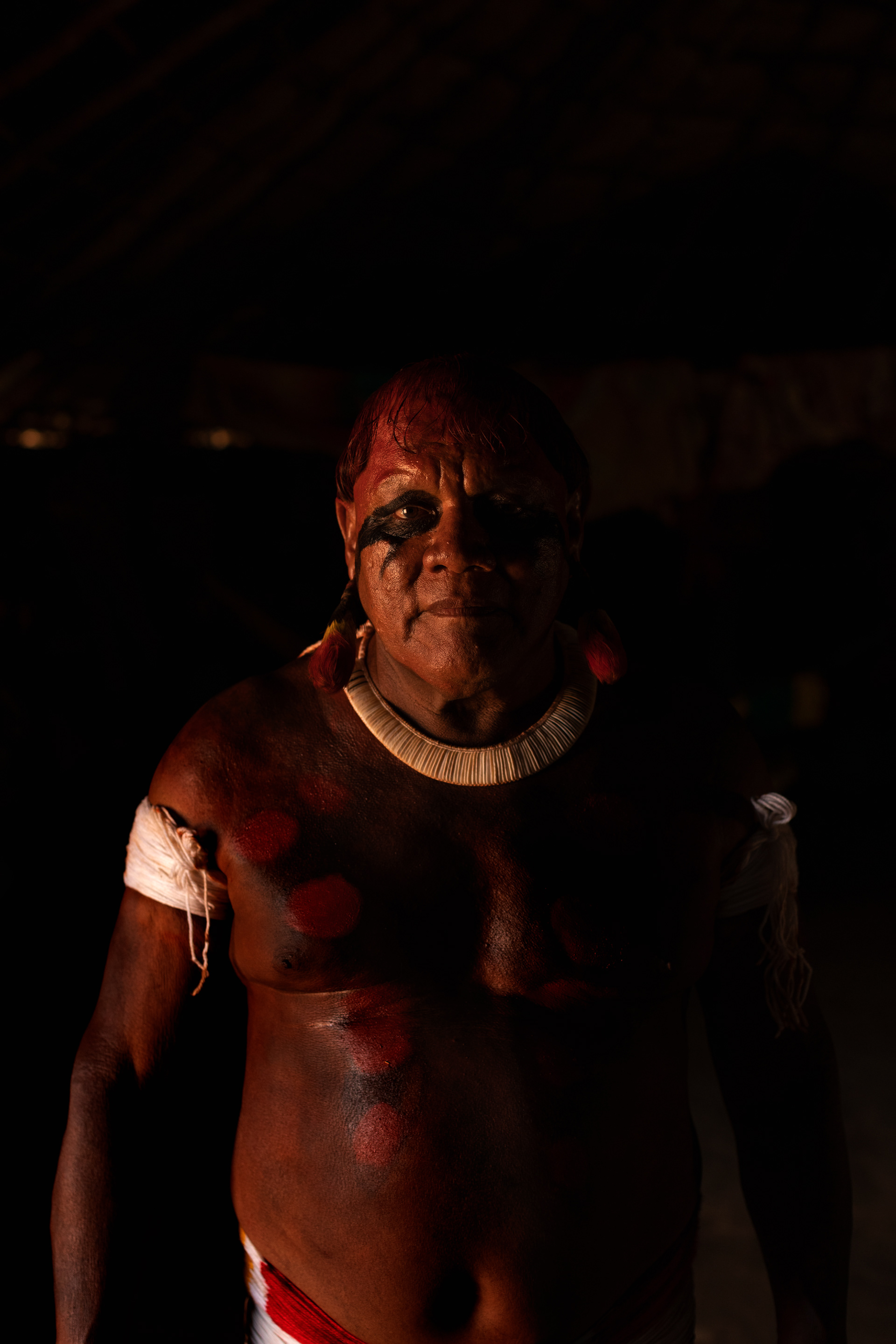
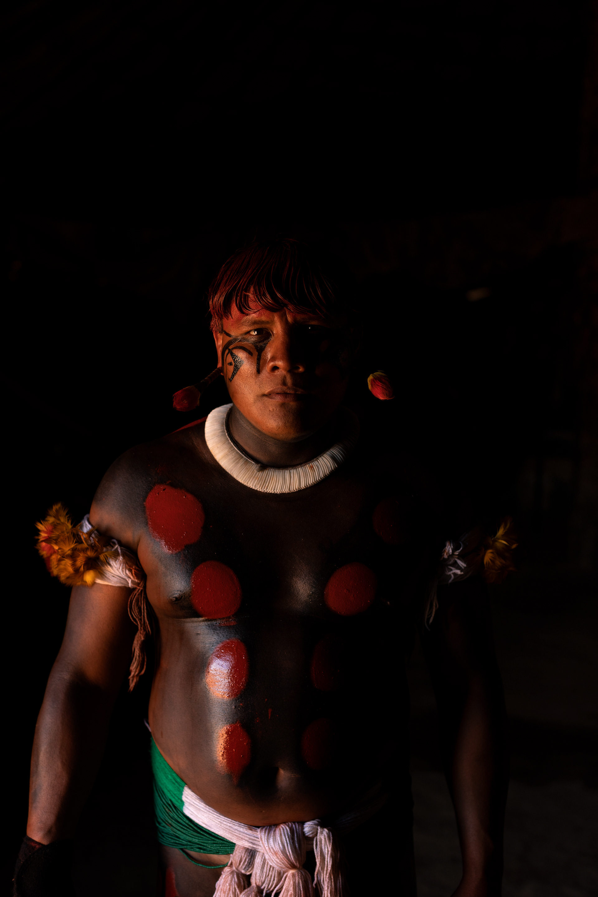
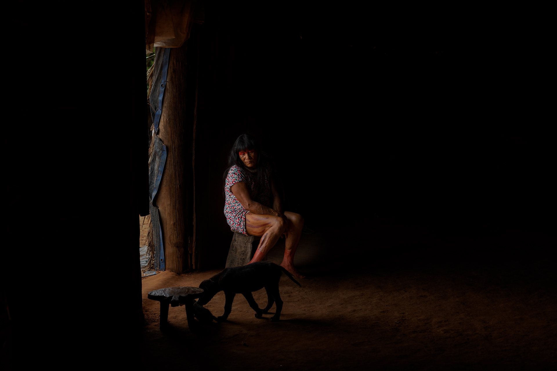
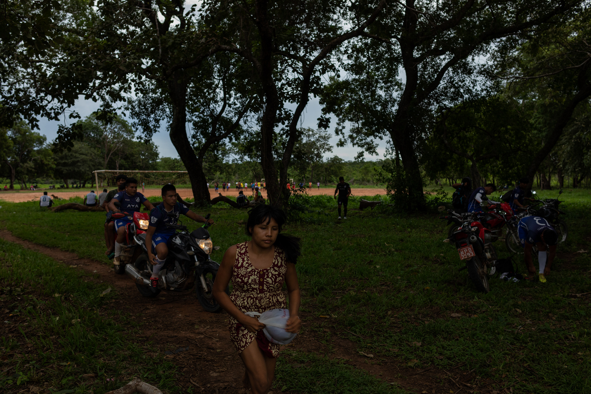
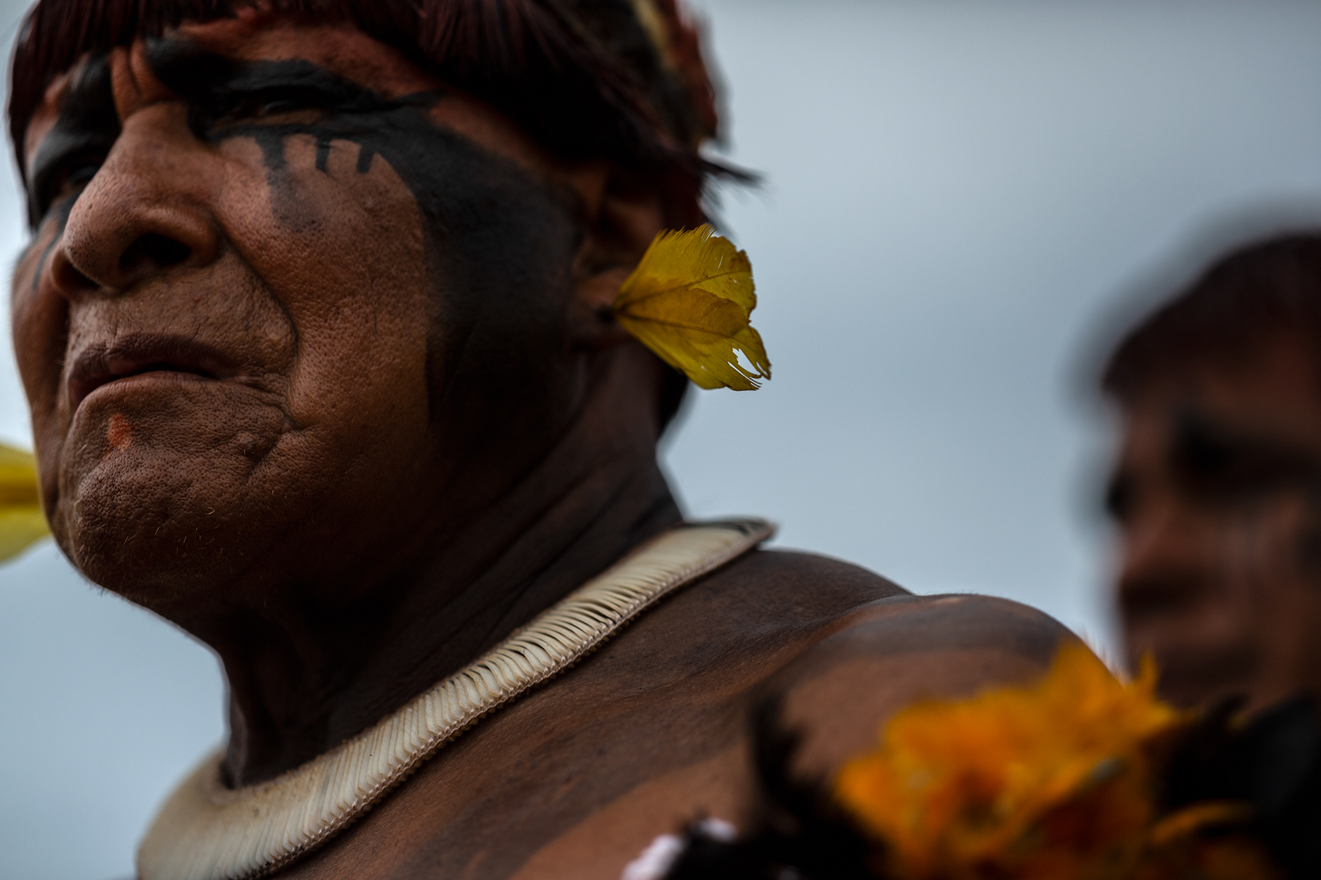
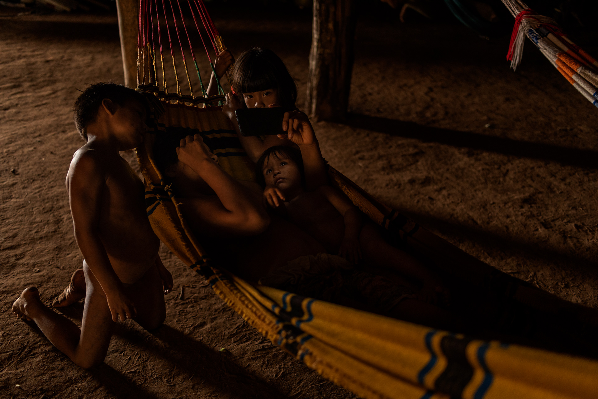
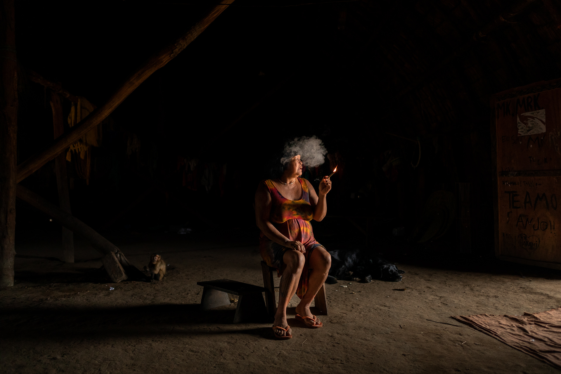
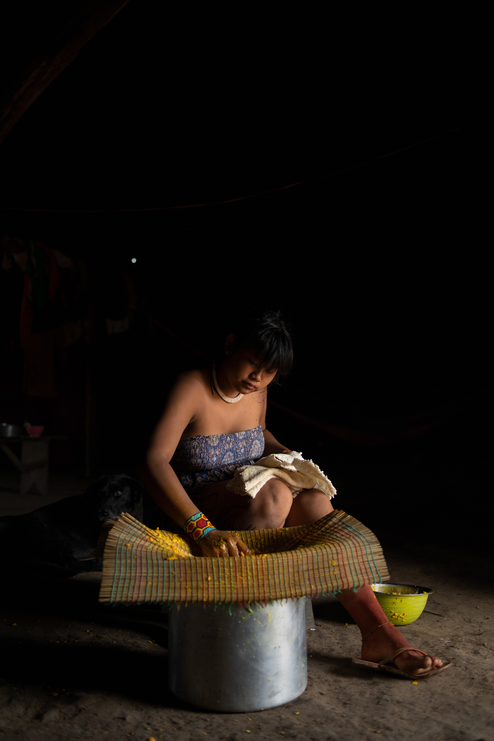
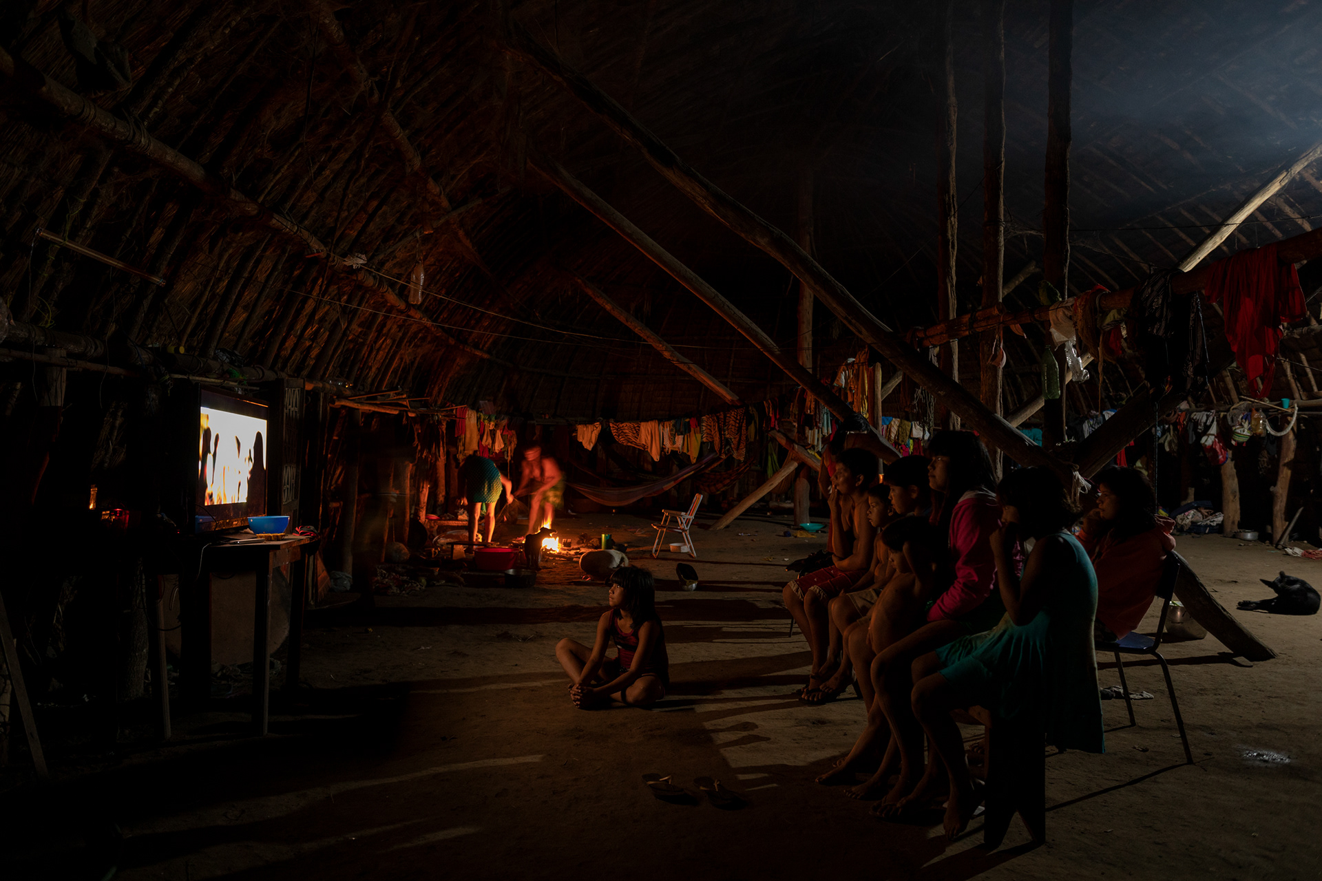
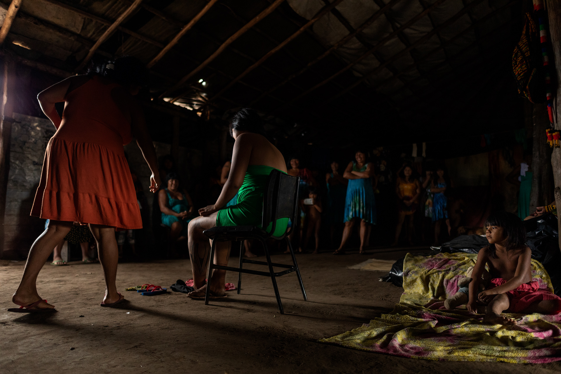
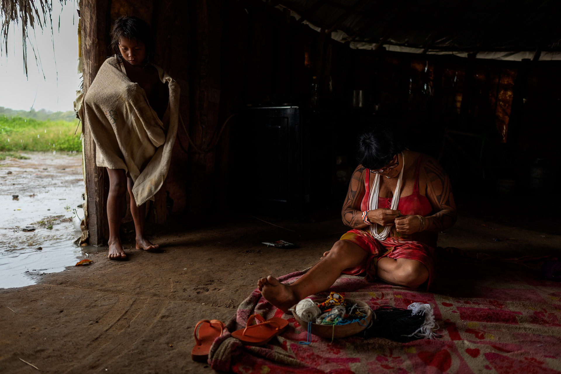
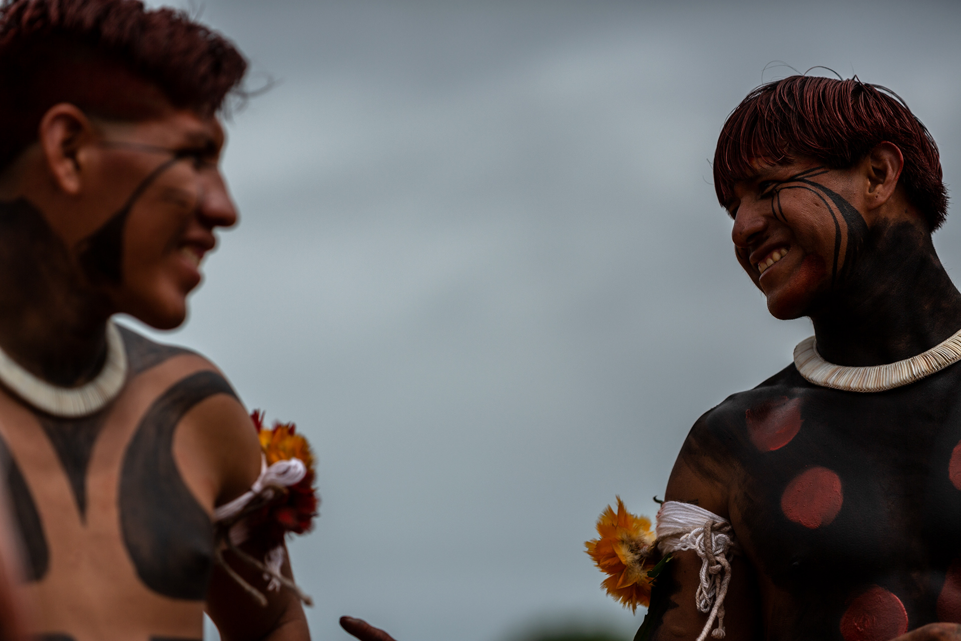
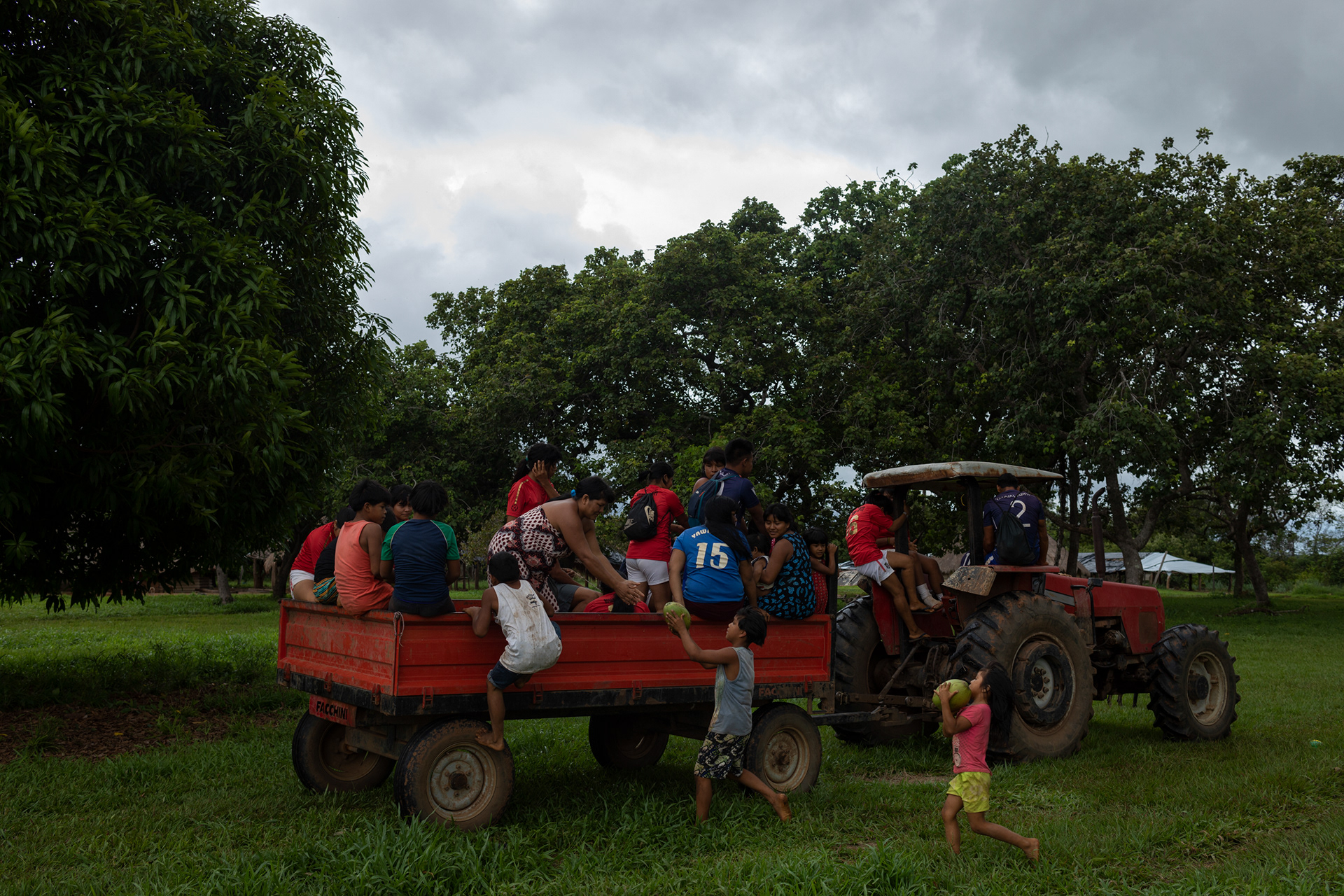
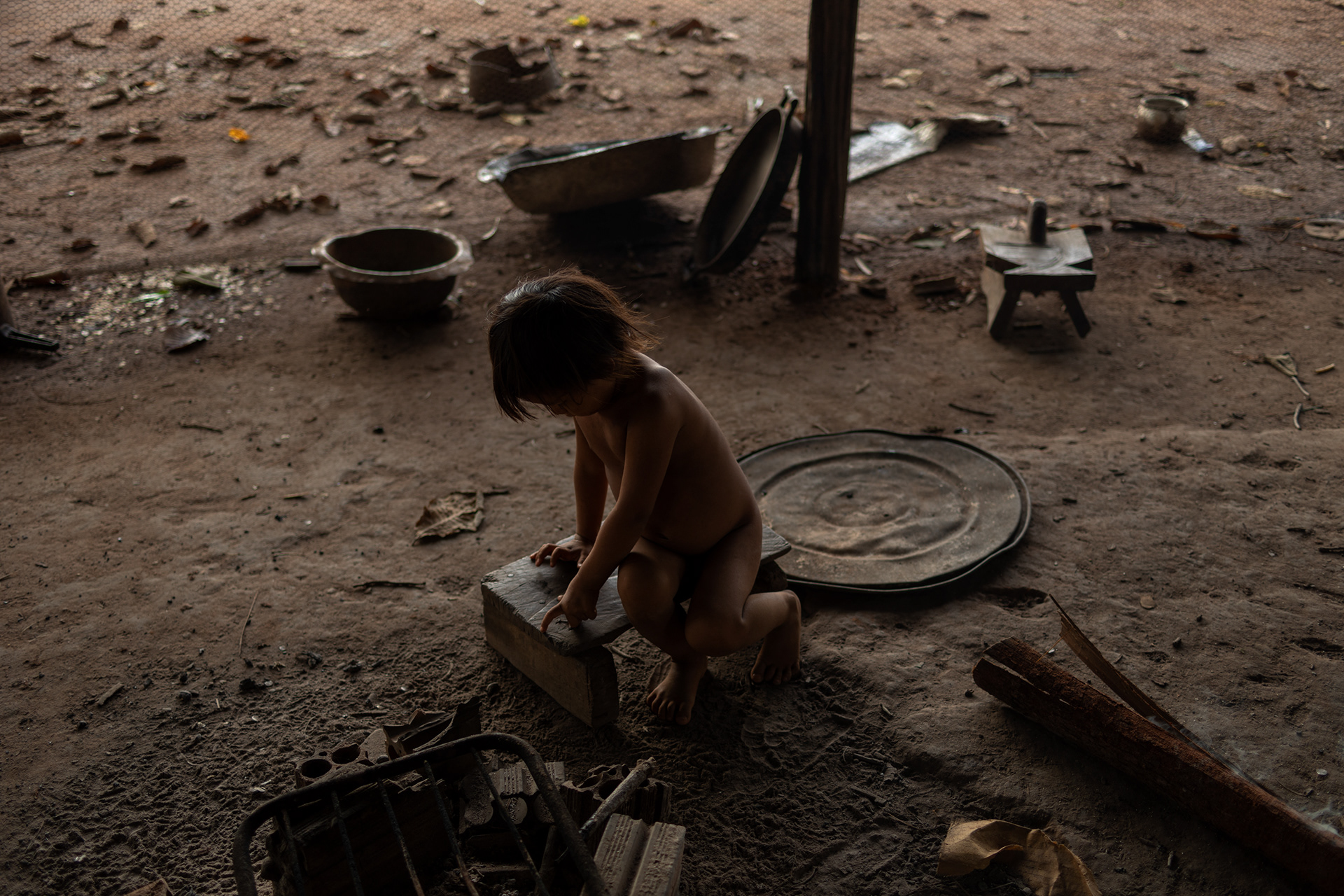
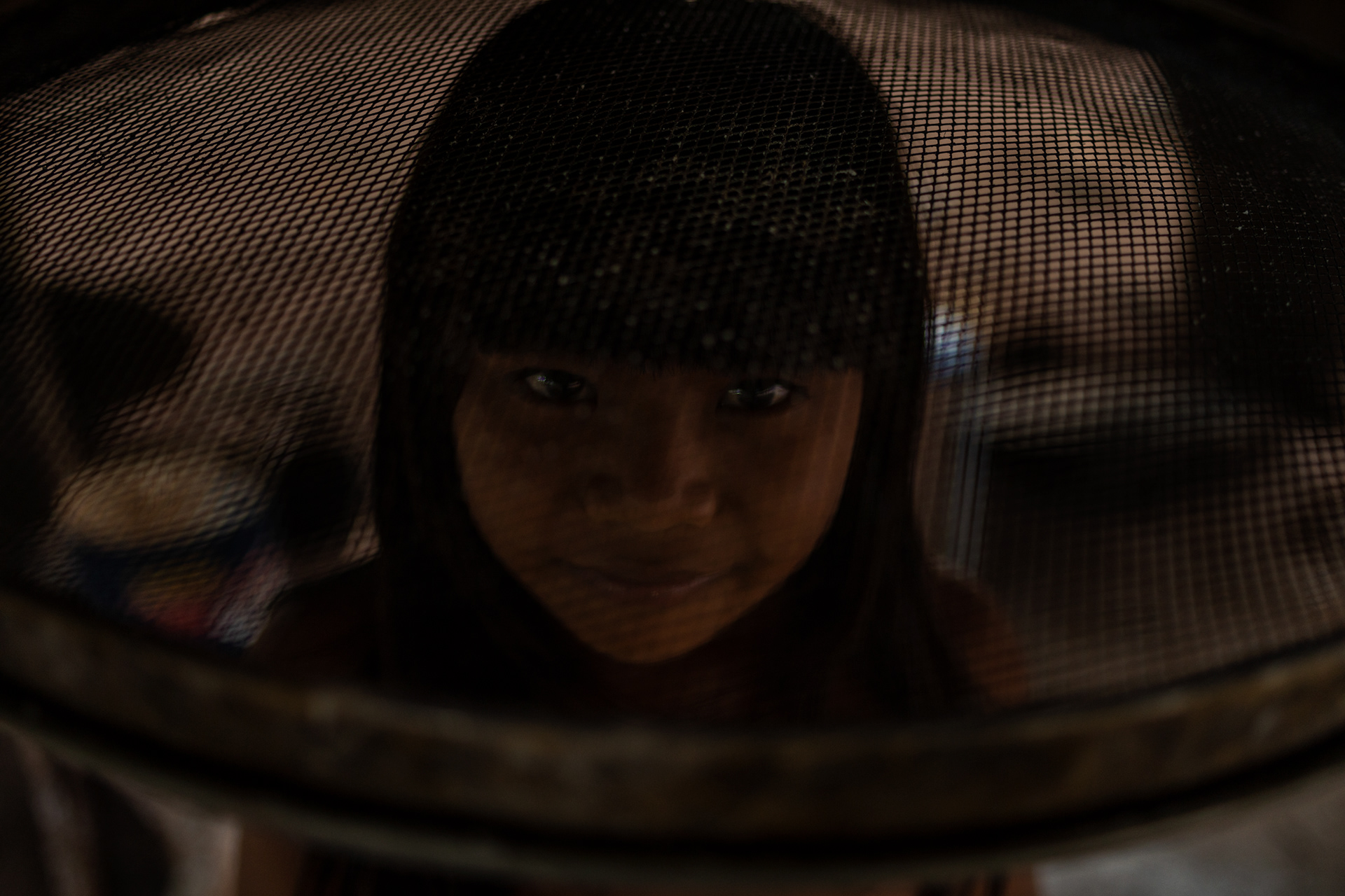
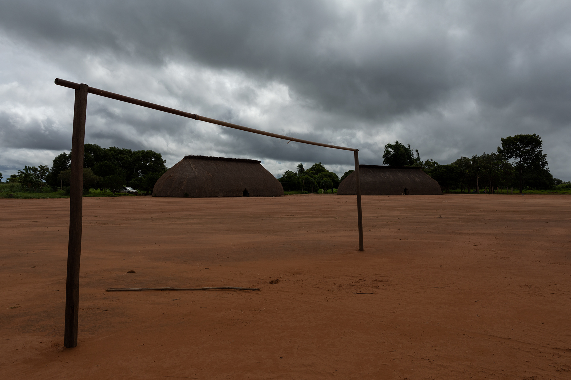
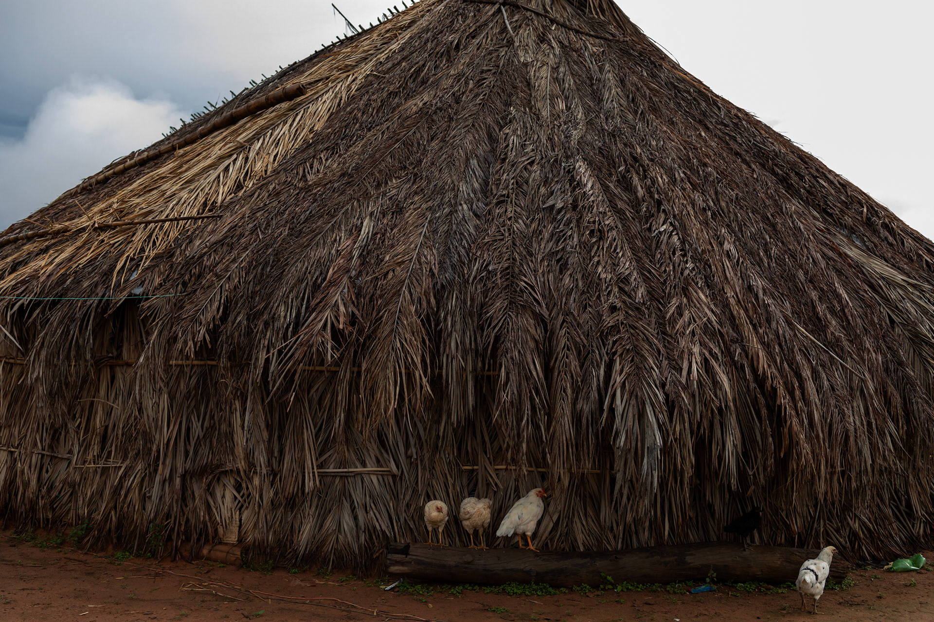
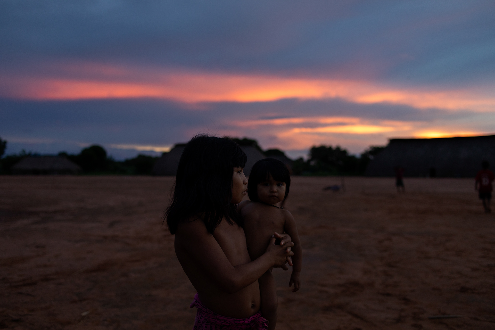
The Xingu Indigenous Park encompasses, in its southern portion, the cultural area known as the Upper Xingu, formed by the Aweti, Kalapalo, Kamaiurá, Kuikuro, Matipu, Mehinako, Nahukuá, Naruvotu, Trumai, Wauja and Yawalapiti peoples. Despite their linguistic variety, these peoples are characterized by a great similarity in their way of life and worldview. They are also articulated in a network of specialized exchanges, marriages and inter-villager rituals. However, each of these groups makes a point of cultivating their ethnic identity and, if ceremonial and economic exchange celebrates upper Xingu society, also promotes the celebration of their differences.
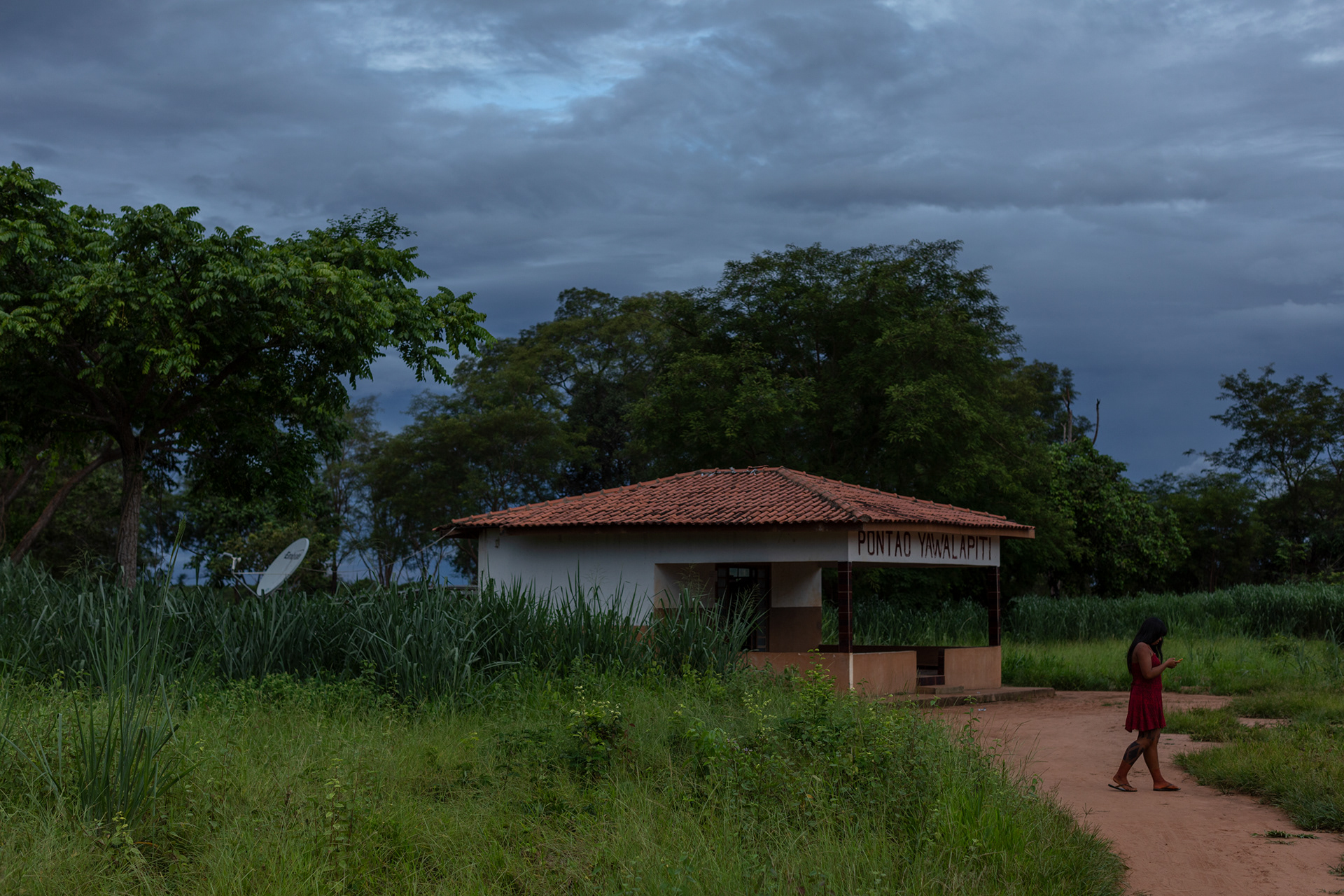
The present-day yawalapiti village is located further south, at the meeting point of the Tuatuari and Kuluene rivers, a fertile land about five kilometers from the Leonardo Villas Bôas Post.
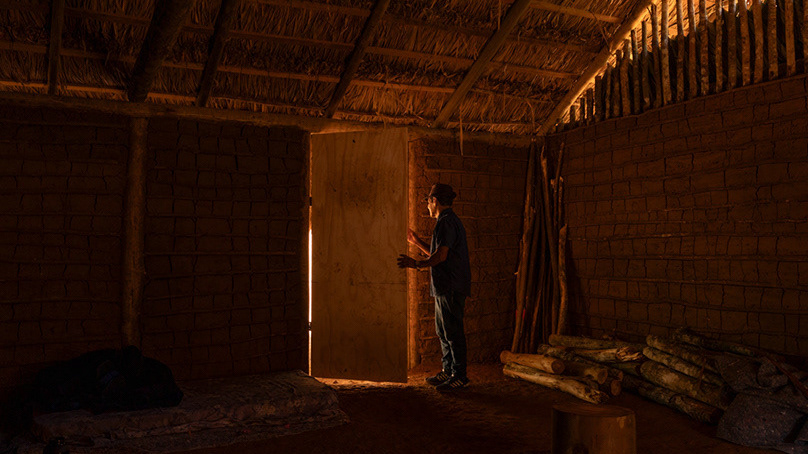
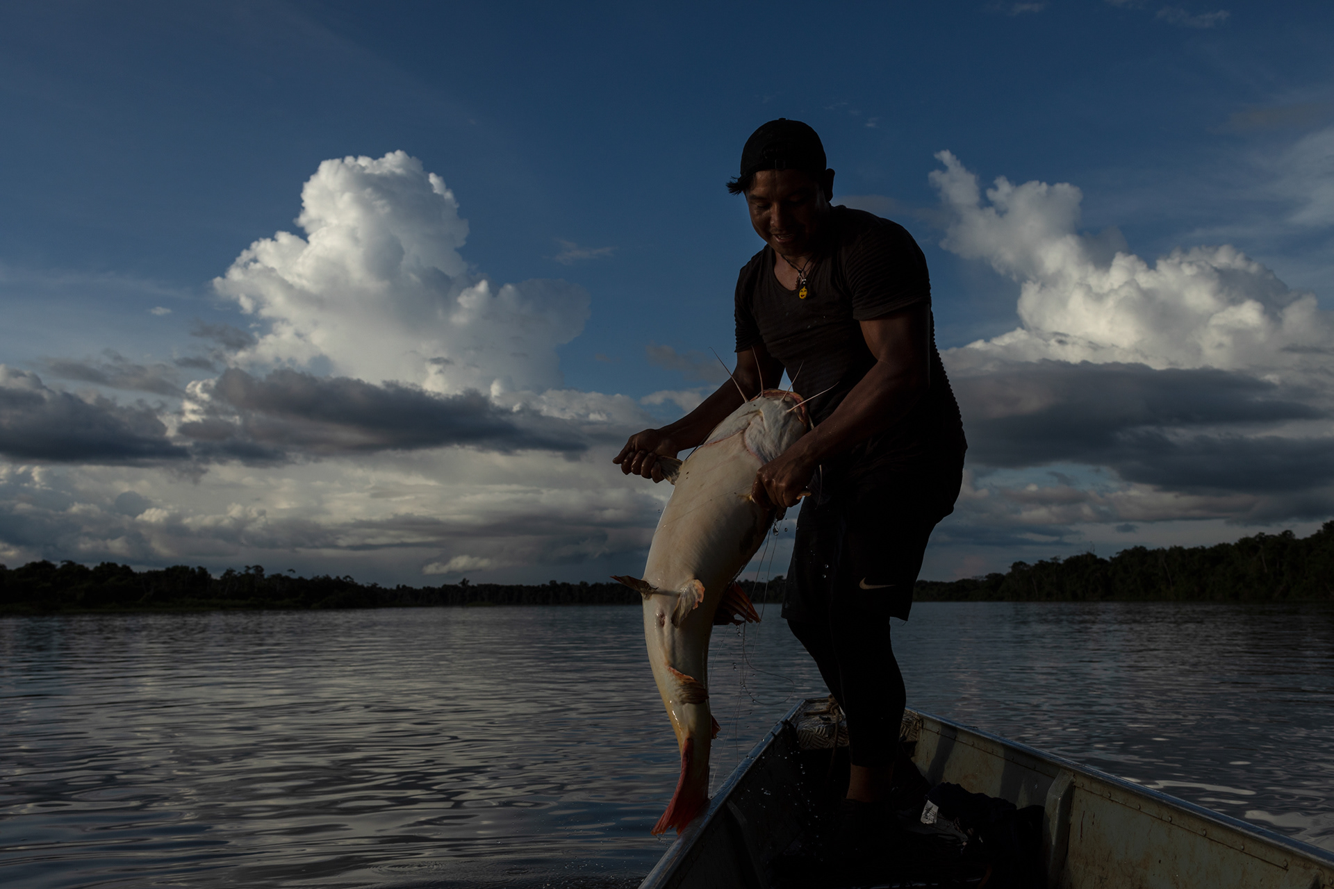
The Kamaiurá have never departed from their area of occupation, in the confluence region of the Kuluene and Kuliseu rivers, close to the great Ipavu lagoon, which means, in the language of this people, “big water”. Today, the Kamaiurá village is located about ten kilometers north of the Leonardo Villas-Bôas Post, approximately 500 meters from the south bank of the Ipavu Lagoon and six kilometers from the Kuluene River on your right. The immediate Kamaiurá territory is the village, formed by the houses and the ceremonial courtyard, the neighboring forest, the Ipavu lagoon and the streams that flow into it.
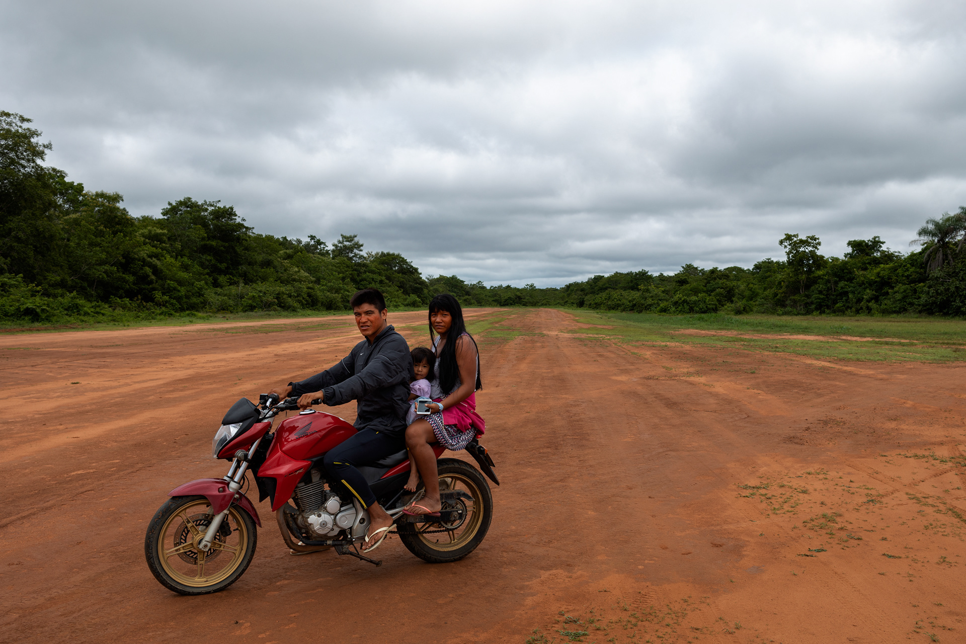
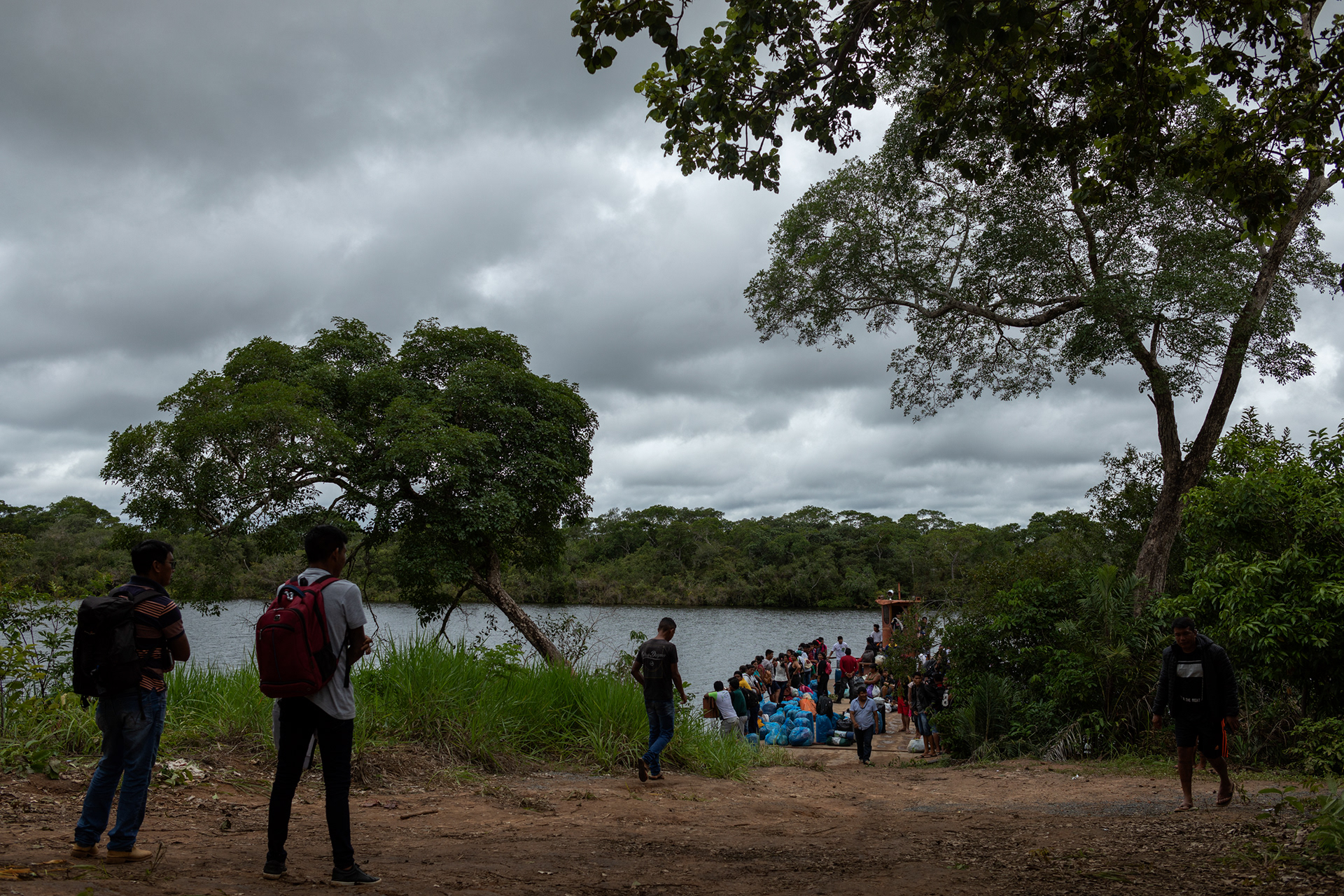
A recent movement is still converging all the peoples of the Park in the name of common interests. Indigenous organizations (especially the Xingu Indigenous Land Association) have established themselves as an important means of dialogue with the national society and the promotion of education projects, economic alternatives and protection of the territory.
SOURCE: INSTITUTO SOCIO AMBIENTAL - https://pib.socioambiental.org